Boulder, CO · 2525 Arapahoe Ave
STORE HOURS:

Shop Products
- Gift Cards
- Apparel & Footwear
- Appliances
- Automotive
- Building Materials
- Cleaning
- Doors & Windows
- Electrical
- Hardware
- Fasteners
- Flooring
- Home Goods & Decor
- Heating, Cooling & Ventilation
- Holiday
- Lighting & Ceiling Fans
- Kitchen & Bath
- Lawn & Garden
- Paint
- Plumbing
- Outdoor Living
- Storage & Organization
- Pet & Wild Bird
- Sports & Recreation
- Tools
Services
Inspiration
About Us
Contact Us
Rewards
- Home
- Products
- Home Goods & Decor
- Office & Store Supplies
- Books, Maps & Planners
- Maps
- GTR Mapping 1881262111

GTR Mapping
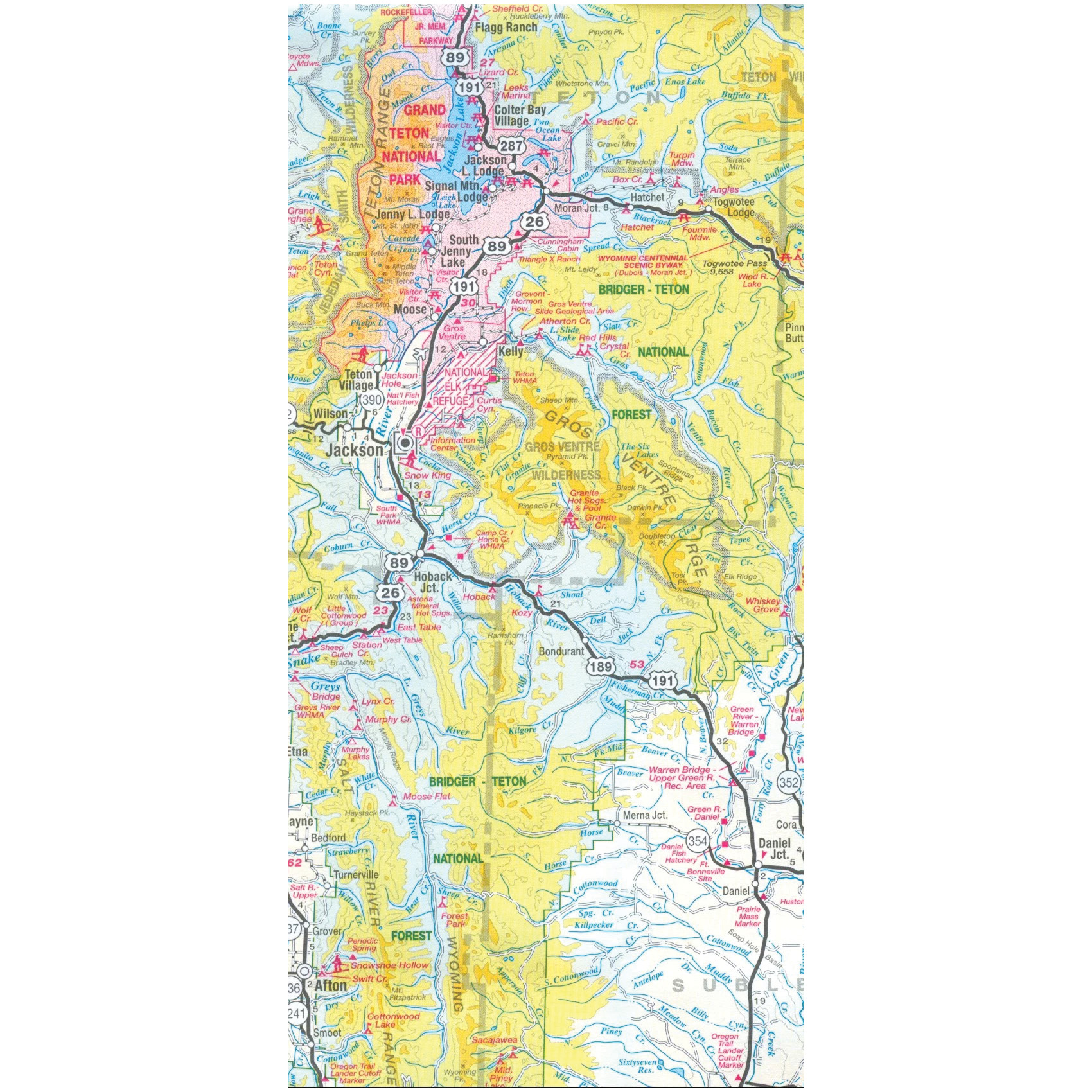
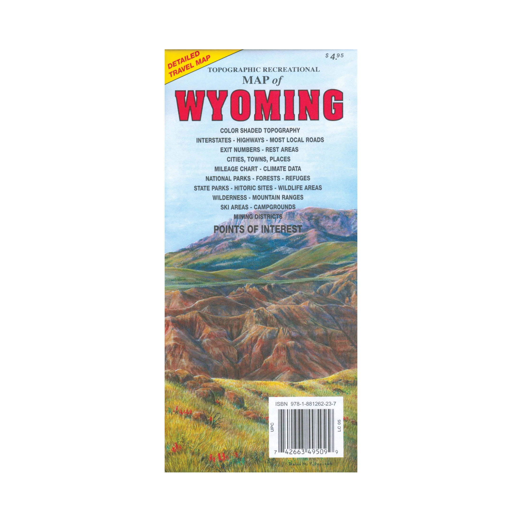
GTR Mapping 1881262111 Topographic Recreational Map, 24 in L, 37 in W, Wyoming
MPN: 1881262111
•
SKU: 102411743
• UPC: 742663495099
Store SKU:

Supplier SKU:
Customer Part Number:
Promo Price:
Volume Discounts
How Would You Like to Get It?
Store Pickup / Curbside
Check in-store availability · Ready same day
FREE
Ship to Me
Standard shipping · 5–7 business days
FREE
Local Delivery
Same-day in Boulder · Order before 2pm
$9.99
Need Help Choosing?
Our Green Vest experts can walk you through options or recommend a local pro.
GTR Mapping 1881262111 Topographic Recreational Map, 24 in L, 37 in W, Wyoming
Detailed travel map interstates, exit numbers, highways, most local maintained roads. Topographic contours each 1000 ft and color shaded each 2000 ft above 6000 ft. Features include national forests, wilderness, campgrounds, parks, state game and fish areas, ski areas, mining districts, points of interest and more.
| Continental Coverage | Wyoming |
| Length | 24 in |
| Width | 37 in |