
Shop Products
- Gift Cards
- Apparel & Footwear
- Appliances
- Automotive
- Building Materials
- Cleaning
- Doors & Windows
- Electrical
- Hardware
- Fasteners
- Flooring
- Home Goods & Decor
- Heating, Cooling & Ventilation
- Holiday
- Lighting & Ceiling Fans
- Kitchen & Bath
- Lawn & Garden
- Paint
- Plumbing
- Outdoor Living
- Storage & Organization
- Pet & Wild Bird
- Sports & Recreation
- Tools
Services
Inspiration
About Us
Contact Us
Rewards
- Home
- Products
- Home Goods & Decor
- Office & Store Supplies
- Books, Maps & Planners
- Maps
- National Geographic TI00000211

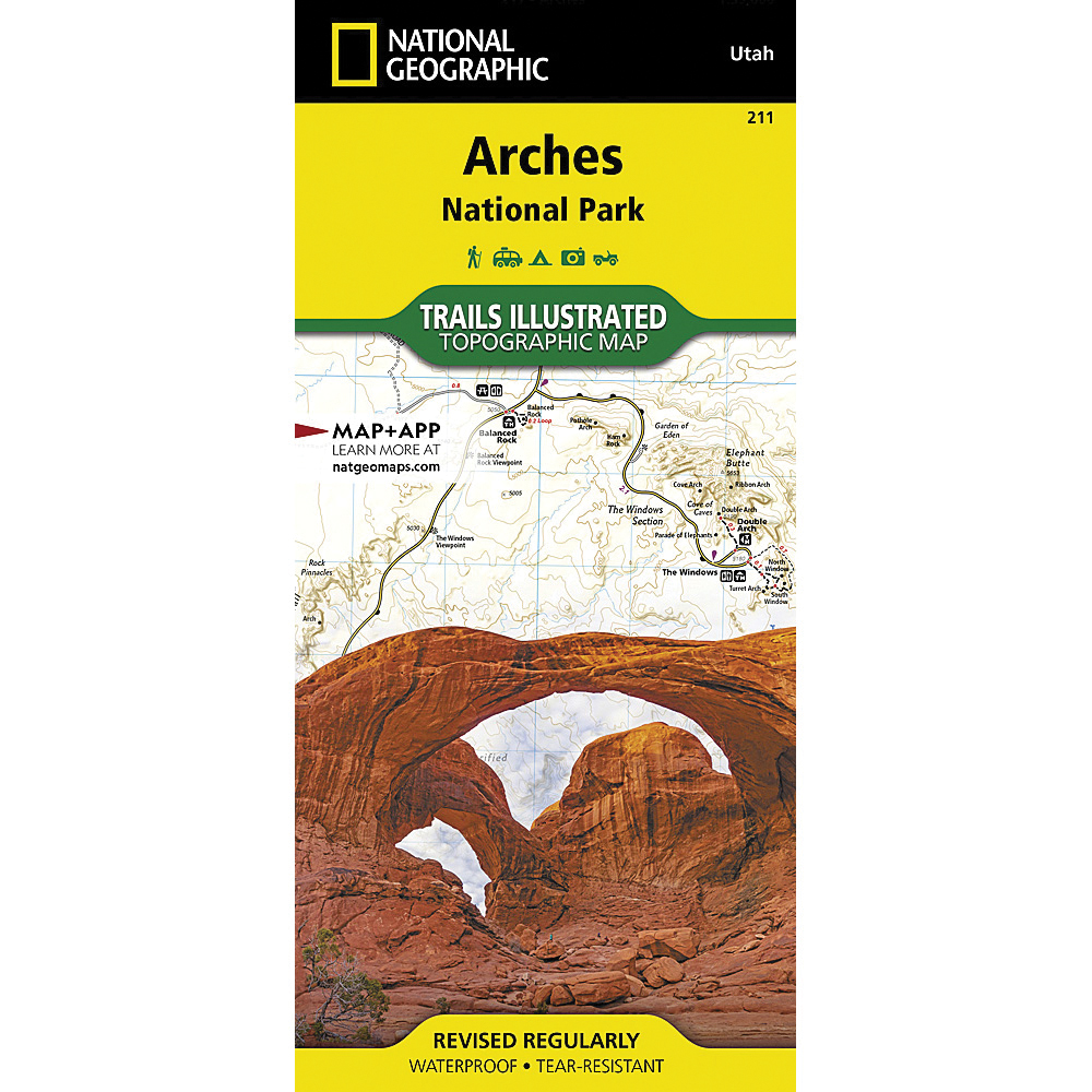
National Geographic TI00000211 Arches National Park Map, 37-3/4 in L, 25-1/2 in W

Promo Price:
National Geographic TI00000211 Arches National Park Map, 37-3/4 in L, 25-1/2 in W
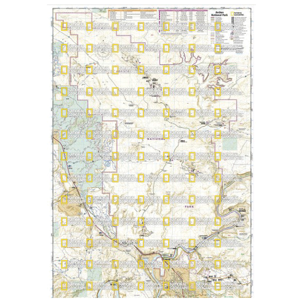
With over 2000 natural stone arches and hundreds of other extraordinary geological formations, Arches National Park is a red rock wonderland. National Geographic's Trails Illustrated map of the park combines unmatched detail with helpful information to offer an invaluable tool for making the most of your visit to this iconic region. Created in partnership with local land management agencies, this expertly researched map features key areas of interest including Devils Garden, the Windows Section, Sand Flats Recreation Area, the Sovereign area and Wolfe Ranch. The print version of the map includes fascinating information about the park's geology, archeology, history and culture, as well as contact information and regulations.
| Continental Coverage | Devils Garden, The Windows Section, Sand Flats Recreation Area, The Sovereign Area and Wolfe Ranch |
| Material | Paper |
| Length | 37-3/4 in |
| Width | 25-1/2 in |
- Every trails illustrated map is printed on backcountry tough waterproof, tear-resistant paper
- Full UTM grid is printed on the map to aid with GPS navigation