Boulder, CO · 2525 Arapahoe Ave
STORE HOURS:

Shop Products
- Gift Cards
- Apparel & Footwear
- Appliances
- Automotive
- Building Materials
- Cleaning
- Doors & Windows
- Electrical
- Hardware
- Fasteners
- Flooring
- Home Goods & Decor
- Heating, Cooling & Ventilation
- Holiday
- Lighting & Ceiling Fans
- Kitchen & Bath
- Lawn & Garden
- Paint
- Plumbing
- Outdoor Living
- Storage & Organization
- Pet & Wild Bird
- Sports & Recreation
- Tools
Services
Inspiration
About Us
Contact Us
Rewards
- Home
- Products
- Home Goods & Decor
- Office & Store Supplies
- Books, Maps & Planners
- Maps
- Rand McNally 0-528-88109-4

Rand McNally
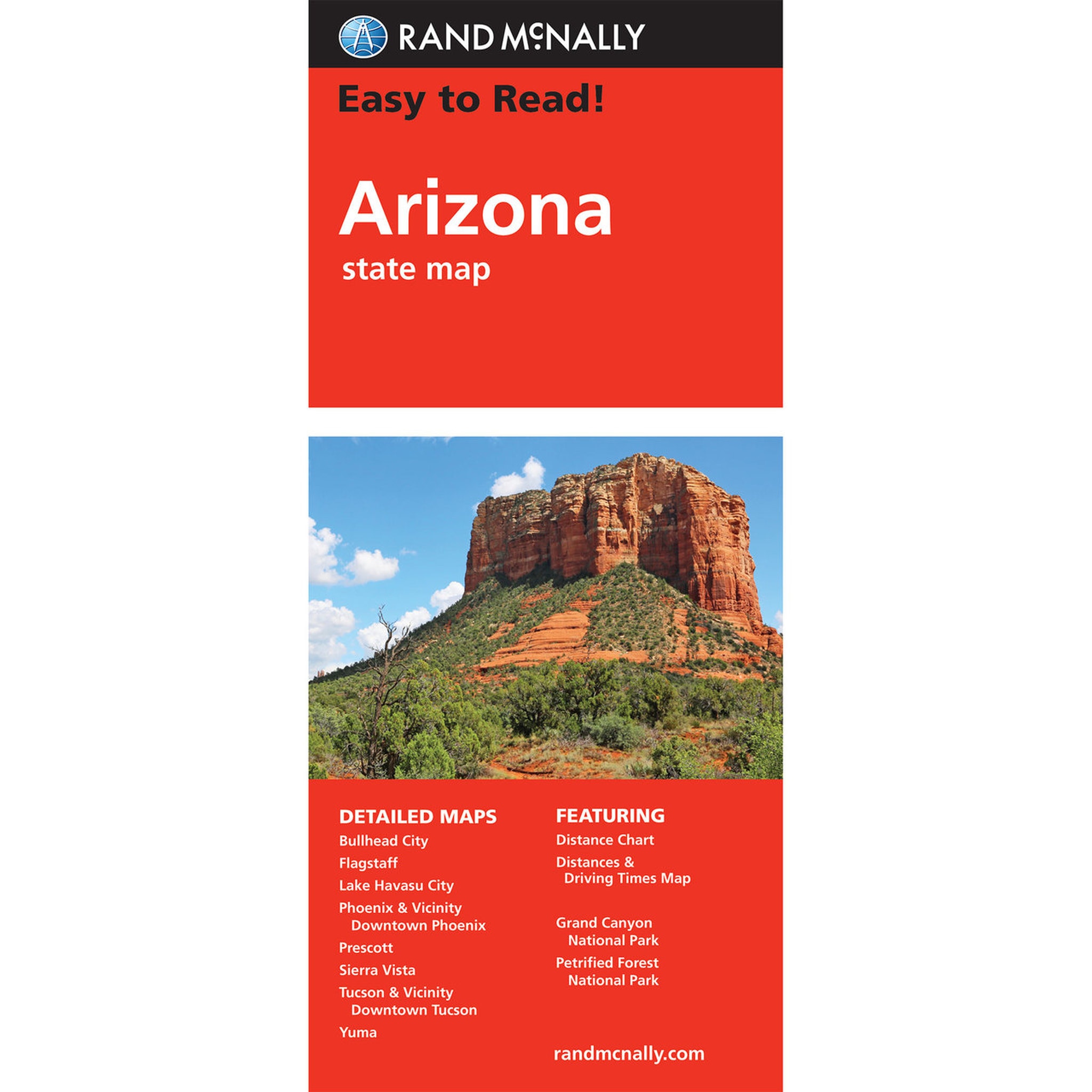
Rand McNally 0-528-88109-4 Easy-to-Read Map, 28 in L, 40 in W
MPN: 0-528-88109-4
•
SKU: 102411665
• UPC: 070609024431
Store SKU:

Supplier SKU:
Customer Part Number:
Promo Price:
Volume Discounts
How Would You Like to Get It?
Store Pickup / Curbside
Check in-store availability · Ready same day
FREE
Ship to Me
Standard shipping · 5–7 business days
FREE
Local Delivery
Same-day in Boulder · Order before 2pm
$9.99
Need Help Choosing?
Our Green Vest experts can walk you through options or recommend a local pro.
Rand McNally 0-528-88109-4 Easy-to-Read Map, 28 in L, 40 in W
Rand McNally's Easy To Read State Folded Map is a must have for anyone traveling in and around Arizona, offering unbeatable accuracy and reliability at a great price. Our trusted cartography shows all Interstate, US, state and county highways, along with clearly indicated parks, points of interest, airports, county boundaries and streets. The easy-to-use legend and detailed index make for quick and easy location of destinations. You'll see why Rand McNally folded maps have been the trusted standard for years.
| Continental Coverage | Downtown Prescott, Flagstaff, Grand Canyon National Park, Lake Havasu City, Petrified Forest National Park, Phoenix, Phoenix/Vicinity, Tucson/Vicinity, Tucson Downtown, Yuma |
| Length | 28 in |
| Width | 40 in |
- Regularly updated, full-color maps
- Larger map with a bigger type size than the Rand McNally folded map
- Clearly labeled Interstate, US state and county highways
- Indications of parks, points of interest, airports, county boundaries and more
- Mileage and driving times map
- Detailed index
- Convenient folded size