
Shop Products
- Gift Cards
- Apparel & Footwear
- Appliances
- Automotive
- Building Materials
- Cleaning
- Doors & Windows
- Electrical
- Hardware
- Fasteners
- Flooring
- Home Goods & Decor
- Heating, Cooling & Ventilation
- Holiday
- Lighting & Ceiling Fans
- Kitchen & Bath
- Lawn & Garden
- Paint
- Plumbing
- Outdoor Living
- Storage & Organization
- Pet & Wild Bird
- Sports & Recreation
- Tools
Services
Inspiration
About Us
Contact Us
Rewards
- Home
- Products
- Home Goods & Decor
- Office & Store Supplies
- Books, Maps & Planners
- Maps
- National Geographic TI00000141

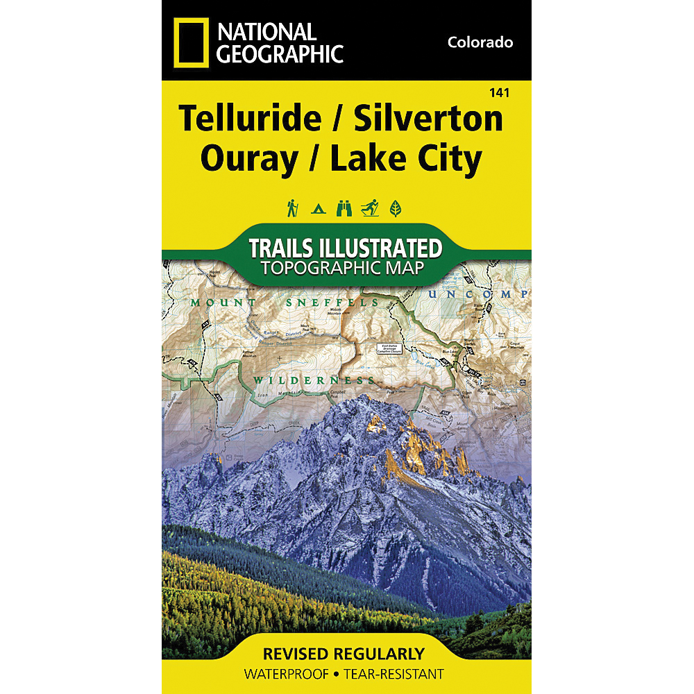
National Geographic TI00000141 Telluride, Silverton, Ouray, Lake City Map, 37-3/4 in L, 25-1/2 in W

Promo Price:
National Geographic TI00000141 Telluride, Silverton, Ouray, Lake City Map, 37-3/4 in L, 25-1/2 in W
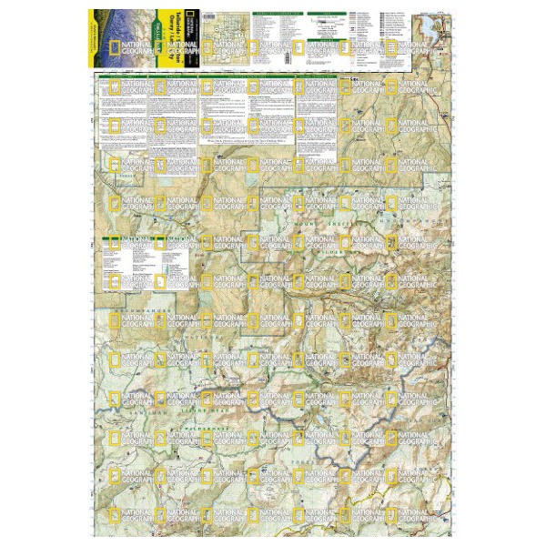
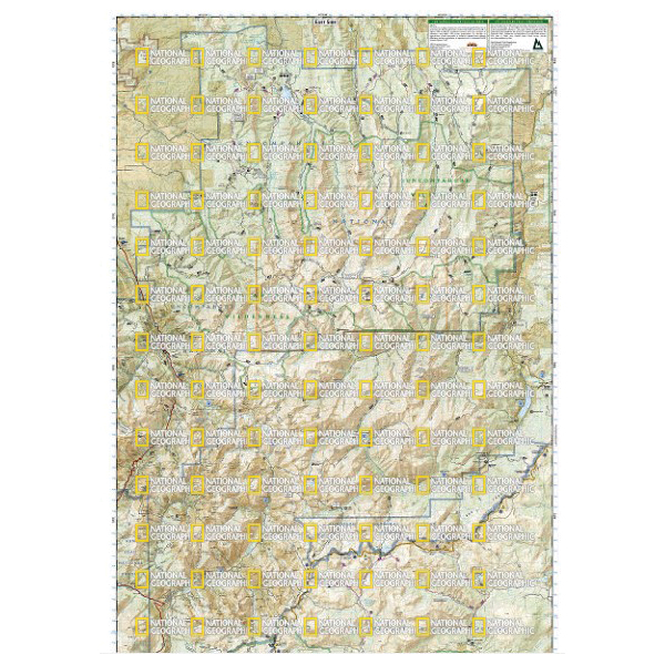
Expertly researched and created in partnership with local land management agencies, National Geographic's Trails Illustrated map of Telluride, Silverton, Ouray and Lake City provides an unparalleled tool for exploring this breathtaking region of Colorado. Whatever the season, you'll find this map a useful tool in pursuing a host of recreational activities from skiing, snowmobiling and ice climbing to camping, fishing, mountain biking and ATVing. The map also includes information about these featured attractions. Uncompahgre Wilderness, Alpine Loop National Scenic Byway, Lizard Head Wilderness, Ridgway State Park, Mount Sneffels Wilderness and San Juan Skyway National Scenic Byway.
| Continental Coverage | Cimarron Ridge, El Diente Peak, Gunnison National Forest, Handies Peak, Lizard Head Wilderness, Mount Sneffels, Mount Sneffels Wilderness, Mount Wilson, Redcloud Peak, Rio Grande National Forest, San Juan National Forest, Sunshine Peak, Uncompahgre National Forest, Uncompahgre Peak, Uncompahgre Wilderness, Weminuche Wilderness, Wetterhorn Peak, Wilson Peak |
| Material | Paper |
| Length | 37-3/4 in |
| Width | 25-1/2 in |
- Every trails illustrated map is printed on backcountry tough waterproof, tear-resistant paper
- Full UTM grid is printed on the map to aid with GPS navigation