
Shop Products
- Gift Cards
- Apparel & Footwear
- Appliances
- Automotive
- Building Materials
- Cleaning
- Doors & Windows
- Electrical
- Hardware
- Fasteners
- Flooring
- Home Goods & Decor
- Heating, Cooling & Ventilation
- Holiday
- Lighting & Ceiling Fans
- Kitchen & Bath
- Lawn & Garden
- Paint
- Plumbing
- Outdoor Living
- Storage & Organization
- Pet & Wild Bird
- Sports & Recreation
- Tools
Services
Inspiration
About Us
Contact Us
Rewards
- Home
- Products
- Home Goods & Decor
- Office & Store Supplies
- Books, Maps & Planners
- Maps
- National Geographic TI00002306

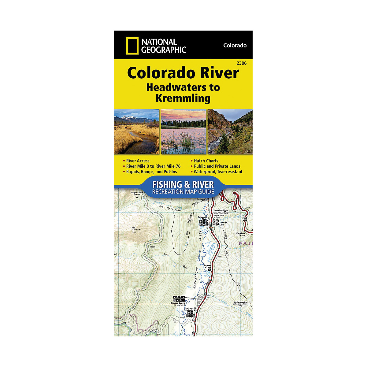
National Geographic TI00002306 Fishing and River Map, Colorado River, Headwaters to Kremmling

Promo Price:
National Geographic TI00002306 Fishing and River Map, Colorado River, Headwaters to Kremmling
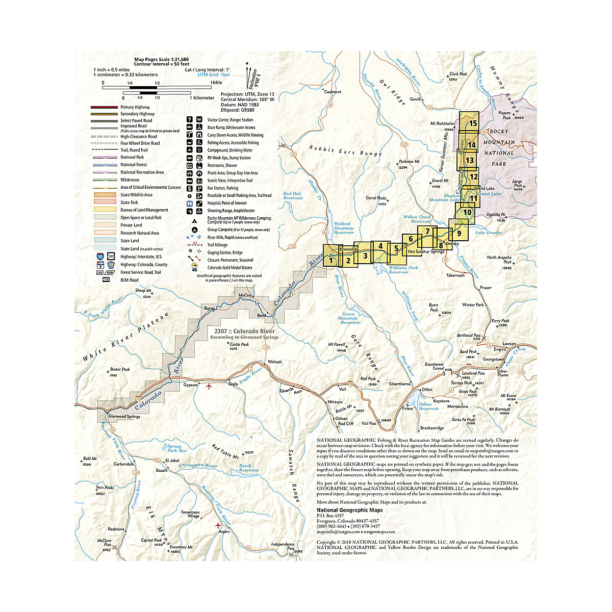
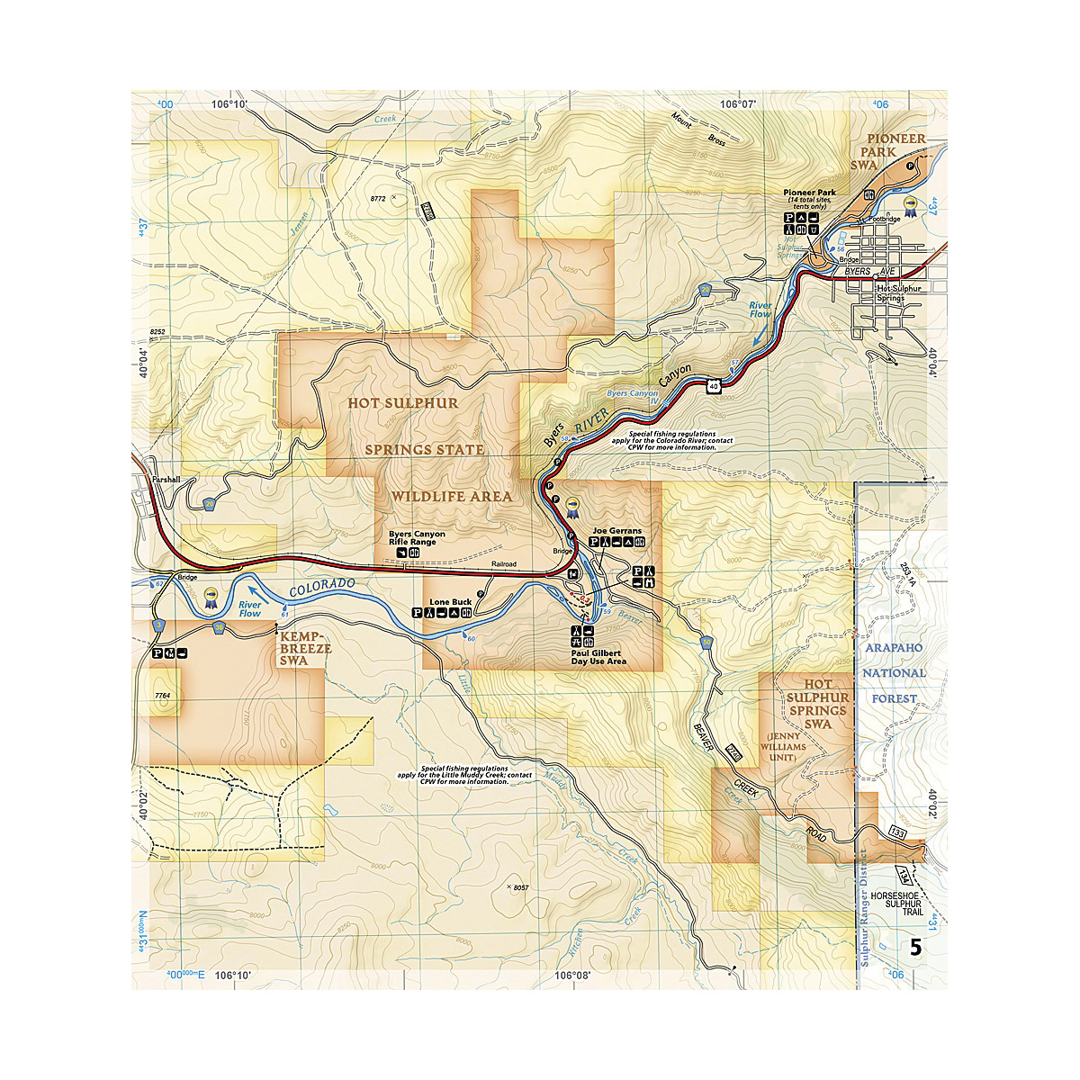
The Colorado River, Headwaters to Kremmling Fishing and River Map Guide is designed to be the perfect companion for anyone recreating on the upper section of this mighty river. Traveling approximately 76 miles and dropping just shy of 3000 ft in elevation, the section of the upper Colorado River represented in this map from its headwaters to Kremmling winds through diverse landscapes, passes near the towns of Granby, Hot Sulphur Springs, Kremmling and Parshall, supporting a variety of ecosystems as it morphs into a powerful and mighty waterway known for prolific insect life, brown, rainbow and brook trout (and the occasional cutthroat), wildlife viewing opportunities and superb cultural and historical features. Offering copious chances for recreation, including camping, stellar angling and unguided rafting, kayaking and stand-up paddle boarding on the Fraser River between Tabernash and Granby and through Byers Canyon, this waterway and its tributaries which are the lifeblood of the basin draw nature lovers, explorers and anglers from across the globe seeking to experience the Colorado's world-class fly-fishing, spectacular scenery and remarkable adventure opportunities. Each Fishing and River Map Guide includes detailed river maps at a scale of 1 in is equal to 0.5 miles. At this scale every turn in the river and rapid is clearly shown and labeled. Each page is centered on the river and overlaps with the adjacent pages so finding any location along the river is easy.
| Continental Coverage | Colorado River, Headwaters to Kremmling |
- 4.25 in x 9.38 in flat size
- The maps include rapids, river miles, access points, private and public lands, gaging stations, recreation sites and more
- Also included are stream flow charts, hatch charts and a table of river access points
- More convenient and easier to use than folded maps, but just as compact and lightweight, National Geographic’s Fishing and River Map Guide booklets are printed on "Backcountry Tough" waterproof, tear-resistant paper with stainless steel staples
- A full UTM grid is printed on the map to aid with GPS navigation